Hiking Arizona: The Top 5 Hikes
Hiking Arizona is full of diversity. Stretching from the canyon-riddled highlands of the Colorado Plateau south to cactus deserts and sky-island mountain ranges, Arizona hiking boasts some of America’s most jaw-dropping scenery—and a plethora of top-shelf hiking trails for enjoying it firsthand.
In a state with so much varied terrain, so much epic wilderness, and so many different possibilities for hoofing it, it’s tough to come up the five “best” trails. Nonetheless, we’ve gamely made a go at it. If nothing else, this quintet of routes does exemplify the magic of the Arizona backcountry, the diversity of the state’s physiographic realms, and the full spectrum of hiking difficulty, from no-sweat to leg-buckler.
So, without further ado, let’s dive into the list. We’ll work our way from easy and moderate footpaths to more challenging treks, and close with some general tips and considerations for tramping the one-of-a-kind Arizona countryside.
West Fork Trail (Mogollon Rim)
The West Fork Trail is one of the most beloved hiking spots in the Grand Canyon State: a fairly short and remarkably easy foray into the breathtaking West Fork Oak Creek Canyon north of Sedona. This tributary defile and the Oak Creek Canyon to which it empties (which makes Highway 89A a famously scenic byway) furrow one of Arizona’s defining landmarks: the Mogollon Rim, a massive scarp separating the Colorado Plateau from the lower, hotter drylands southward.
The West Fork route, which penetrates the Red Rock-Secret Mountain Wilderness of the Coconino National Forest, allows you to experience this much-lauded scenery on foot, away from the engine noise of the mainstem gorge. You won’t necessarily escape crowds, though: This is as popular a trail as you’ll find in the state, given how accessible and pleasantly stroll-able the epic landscape here is.
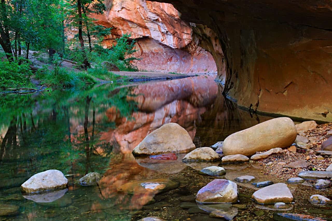
Reach the West Fork trailhead via 89A, some 11 miles north of Sedona. The main trail, six miles round-trip, makes for a half-day, family-friendly outdoor adventure: The mostly level route involves only 300 feet of elevation change, and the stream-crossings are (outside of extreme flood events) hassle-free. You trace verdant, fragrant riparian jungle—a bristling belt of cottonwood, boxelder, Gambel oak, ash, and other hardwoods beneath a super-canopy of Douglas-firs and ponderosa pines—with fiery cliffs and pillars of Coconino Sandstone, darkened here and there by magical seeps, dramatically framing the proceedings.
The leisurely rambling—and therefore most hikers’ journeys—ends about three miles in, when upstream travel becomes a pseudo-bushwhack (with plenty of wading and swimming involved) into the remoter splendor of the upper canyon. The views remain extraordinary and the crowds typically vanish, but bear in mind the real threat of flash flood if you sally forth to the West Fork Oak Creek Canyon head.
White House Ruin Trail (Canyon de Chelly)
Canyon de Chelly National Monument preserves one of the oldest continually inhabited tracts of land in all of North America: nearly 5,000 years of human history staged in steep-walled canyons of the Defiance Plateau in the Colorado Plateau’s Chuska Mountains. Though the region’s heritage extends back thousands of years to the Ancestral Puebloan (“Anasazi”) people, the rugged terrain has been long been the domain of the Navajo, and the monument falls entirely within the Navajo Nation. Most sites require a guide to visit—after all, Navajo families live here—but the White House Ruin Trail can, uniquely, be hiked independently. It’s well worth a visit.
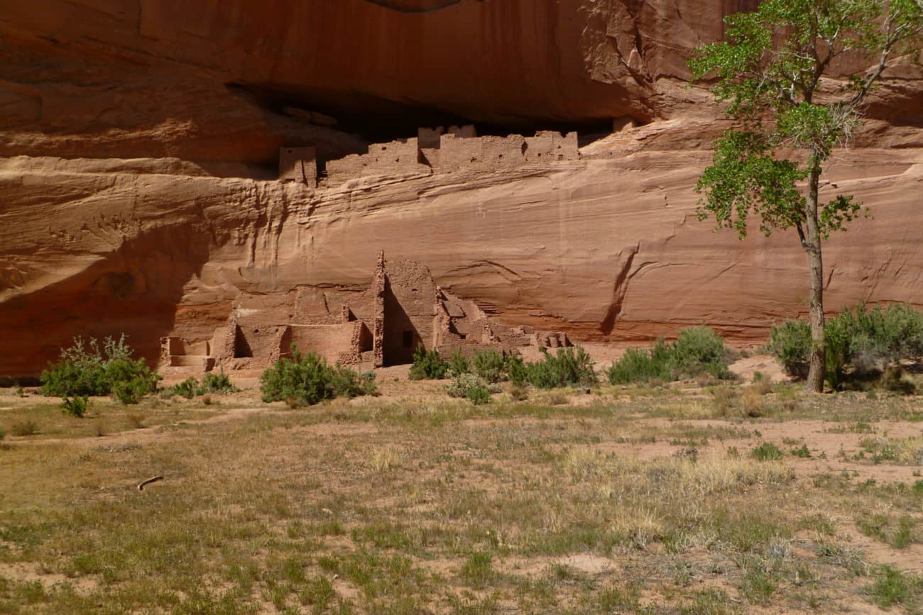
This short, easy, all-ages trail—some 2.5 miles round-trip, demanding two hours or so—affords amazing perspective on Arizona’s indigenous legacy while serving up platefuls of dazzling scenery. The route begins at the White House Overlook on a sandstone scarp, then switchbacks tamely through tunnels about 500 feet down to the floor of Chinle Wash. Crossing the creek, you’ll soon come within view of the striking cliff dwellings, named for the pale plaster streaking some of the cave-quarried homes. Gouged into imposing cross-bedded slickrock, the living spaces and kivas (sacred rooms) were built by Puebloans between the 11th and 13th centuries C.E.; their inhabitants cultivated the wash in the same manner as today’s Navajo.
Gazing at handsomely designed, centuries-old cliff homes etched into sensual sandstone, amid a rugged and semiarid landscape that still preserves the lifeways of the Navajo people—that’s the magic of Canyon de Chelly’s White House Ruin Trail. Don’t miss it (and be sure to explore the rest of the monument, too).
Bright Angel Trail (Grand Canyon)
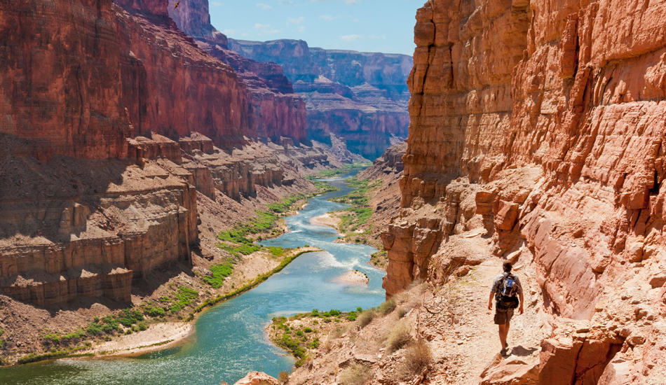
You could easily fill a list of Arizona’s top five hikes with routes in the state’s crowning topographic feature: the Grand Canyon of the Colorado River, famed the world over as (arguably) the most sublime gorge on Earth. (There are longer and deeper canyons, to be sure—including a couple in the U.S.—but it’s hard to come up with one that’s quite as overwhelmingly beautiful.) The Tonto, Grandview, South Kaibab, Havasu Falls, and other trails all offer their own unforgettable perspectives, but the Bright Angel Trail takes the cake as a fairly accessible, rim-to-river introduction to the great gash’s glories.
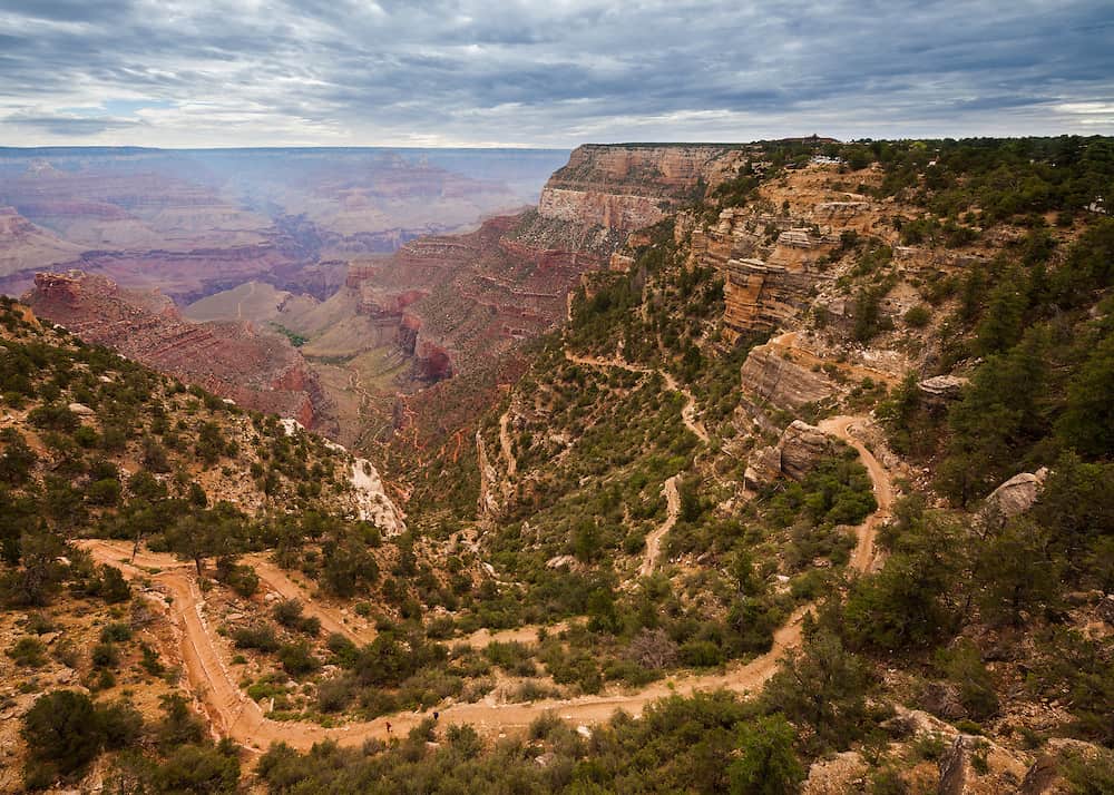
Millions upon millions gaze upon the Grand Canyon every year, but that doesn’t mean the 18-mile-wide, mile-deep gorge doesn’t present a formidable environment for the hiker. A major attraction of the Bright Angel Trail is safety: As the Park Service notes, it’s “without question the safest trail in Grand Canyon National Park.” Part of the so-called “Corridor Trails,” it’s generally well-maintained and regularly patrolled by rangers. But it’s still a strenuous undertaking best tackled as an overnighter.
The trail switchbacks along the conduit of the Bright Angel Fault from Grand Canyon Village on the South Rim about 9.5 miles (and more than 4,000 feet) down to the Colorado at the River Resthouse. From there you can hike riverside dunes to a bridge accessing Bright Angel Campground, nestled amid cottonwoods a half-mile from the Colorado. At roughly the halfway mark, the route intersects the Tonto Platform—the shale ledge that separates the broad, terraced upper canyon from the narrow inner gorge—at Indian Garden, an oasis long used by American Indians which now hosts a ranger station, campground, and year-round water.
The Bright Angel Trail steers you across millions of years of geological time via the bedded sedimentary layers exposed in the walls of the Grand Canyon—from the Coconico Sandstone to the Vishnu Schist. You can also spot American Indian petroglyphs, suggesting the human backstory to this epic landform. The timbered and thicketed shadows provide habitat for ringtails, bobcats, coyotes, mule deer, and other critters. And nearly every turn of the trail will have you pinching yourself at the magnitude and majesty of the scenery. Get hooked on the Grand Canyon on the Bright Angel; you’ll probably be back soon enough to explore the many other miles of trail roving this enormous terrain.
Humphreys Peak Trail (San Francisco Peaks)
Burrowing into flame-red canyons is certainly a quintessential Southwestern hiking experience, but how about spending a bit of time on the roof of Arizona, amid the thin air and endless, wide-open views? That’s the allure of the Humphreys Peak Trail, which sends you straight up the state’s loftiest mountain: the 12,633-foot crown of the San Francisco Peaks. These are the soaring, compact ruins of one long-dead volcano, ringing a high basin (the Interior Valley) on the Coconino Plateau near Flagstaff.
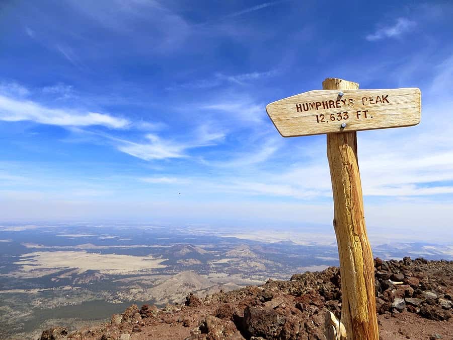
The trail up Humphreys Peak, best accessed from midsummer through early autumn, is about eight miles there-and-back, and demands some 3,300 feet of elevation gain. It’s not a technical climb by any means—Arizona’s high point is more accessible than those of most Western states—but it’s nonetheless a demanding slog, not least given the elevation. Depending on your level of fitness, the prevailing conditions, and how slowed you are by the stature of the vistas, give yourself five to 10 hours for this peak-bagging.
As you trek upslope from the Arizona Snow Bowl trailhead, keep track of the shifting vegetation zones—from mixed ponderosa pine/Douglas-fir/quaking aspen montane forest to the scraggly timberline bristlecone pines, matted juniper, and bare tundra of the high country. In the late 1800s, a noted biologist named C.H. Merriam based a hugely influential classification of “life zones” on this very ecological spectrum in the San Francisco Peaks.
On a good clear day, the windswept summit of Humphreys Peak awards with views worthy of the gods: north to the Grand Canyon’s titanic crack, east to the White Mountains, south to the Mogollon Rim and beyond to desert ranges. Few spots offer this kind of perspective on Arizona geography—and this sense of accomplishment.
Remember, though, that the naked heights of Humphreys Peak are no place to be caught in a thunderstorm, the kind that rattles the San Francisco Peaks frequently on summer afternoons. Try to schedule your hike so you summit by late morning or midday and are safely below timberline before the lightning starts crackling.
The Arizona Trail (Trans-state)
Here’s the granddaddy of Grand Canyon State footpaths: the 800-mile-long Arizona Trail, bridging the sun-scorched deserts of the Sonoran borderlands with the dreamscape plateaus and canyonlands near the Utah line. A through-hike of this mighty trace—schemed up in the ‘70s and ‘80s by Dan Shewalter and completed in 2011—is the odyssey of a lifetime and an incomparable immersion in the manifold beauty of Arizona.
Our list thus far has neglected Arizona’s vast south—that beautiful Sonoran and Chihuahuan desert country—but the Arizona Trail gives you a memorable taste of its ethereal character, whether you’re exploring the Huachuca Mountains (part of the Madrean Sky Islands archipelago), the cactus flats of Saguaro National Park, or the toothy Superstitions near Phoenix. The route also encompasses part of the Highline Trail edging the Mogollon Rim, threads the high woods of the San Francisco Peaks, and crosses the Grand Canyon via the South and North Kaibab Trails.
Hiking from Mexico to Utah along the Arizona Trail obviously warrants careful and extended preparation and a firm grounding in wilderness know-how. Whether you’re a backcountry expert ready to hit the trail tomorrow or somebody who needs to carefully ease into the expedition, put this National Scenic Trail on your bucket-list.
A Few Words on Safety
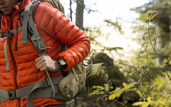
Arizona’s big backcountry demands the utmost respect, whether you’re setting off with plenty of company into West Fork Oak Creek Canyon or trudging all by your lonesome through the wilds of the Mazatzal Divide on the Arizona Trail. Be aware of the weather at all times: Mountain blizzards or thunderstorms can turn high-country treks into life-and-death situations, while that merciless Arizona sun has caught many an under-prepared hiker short on water. Suit yourself up against the sun, drink lots and lots of water, and pack extra layers for unexpected storms or temperature drops. In canyons and arroyos, always be cognizant of flash flooding: Lethal torrents can surge down these drainage’s with little warning, sometimes sparked by faraway rainstorms.
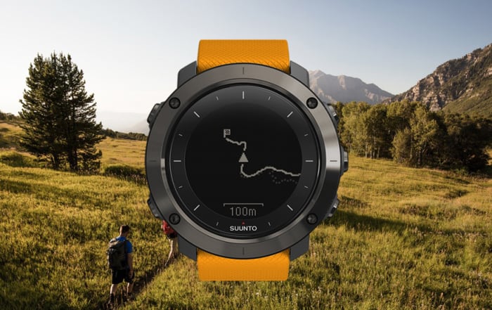
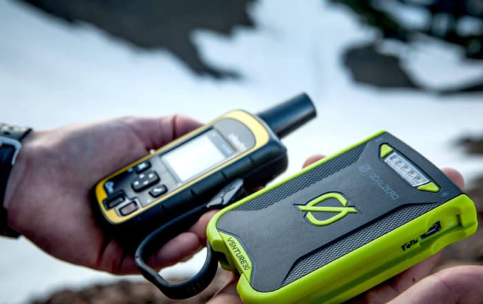
From scorpions and rattlesnakes to poison-ivy and black bears, there are biological hazards out there, as well, though their threat tends to be exaggerated. More dangerous is disorientation: Getting lost in the Arizona desert or slickrock is no laughing matter. Make sure you’ve got a good topographic map as well as a compass—even if you’re also carrying a GPS or a smartphone. And share your route information with others back home (or at the ranger station) before you head out.
Sample these five trails to get the flavor of wild Arizona: From the snowfields of Mount Humphrey to the saguaro forests of the Rincons, here’s a state with absolutely head-spinning scenery and an endless tap of outdoor adventure!
Related posts on Hiking Arizona:
- Brins Mesa Overlook Trail, Sedona Arizona
- Westfork Trail, Sedona Arizona
- Courthouse Butte Loop, Sedona Arizona
Source
(1) 100 Classic Hikes in Arizona (Scott S. Warren)
(2) Hiking Northern Arizona (Bruce Grubbs)
(3) Summitpost: Humphreys Peak
(4) National Park Service: Bright Angel Trail
(6) Hiking AZ Geology (Ivo Lucchitta)
Recent Hiking & Camping Posts
Fall Hiking Gear
The Best in 2020 Fall Hiking Gear Looking for information on fall hiking gear? No offense to the other seasons, but Autumn is the best time to hike throughout much of the Northern [...]

Hiking Trail Shoes
Hiking & Trail Shoes - Earth Gear Review Altra Trail Shoes Prior to our trip to Sedona we were approached by Altra Running and offered shoes to test on the desert trails [...]
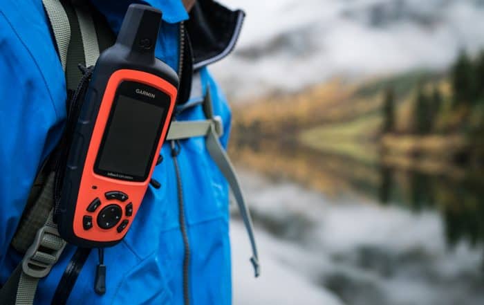
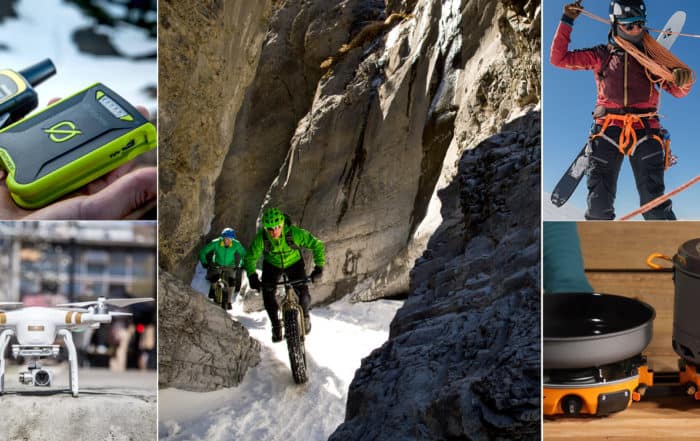
Backcountry Technology
Outdoor Backcountry Technology: The Best in Outdoor Tech Outdoor Backcountry Technology: Some say they seek adventure in the outdoors to escape the trappings of technology, society, and the everyday. We get it. But [...]


Best Backpacking Backpacks
The Best Backpacking Backpacks: Earth Gear's Top 3 If you’re like us, you probably spend an incredible amount of time obsessing over the gear you need when you are planning your next adventure. [...]
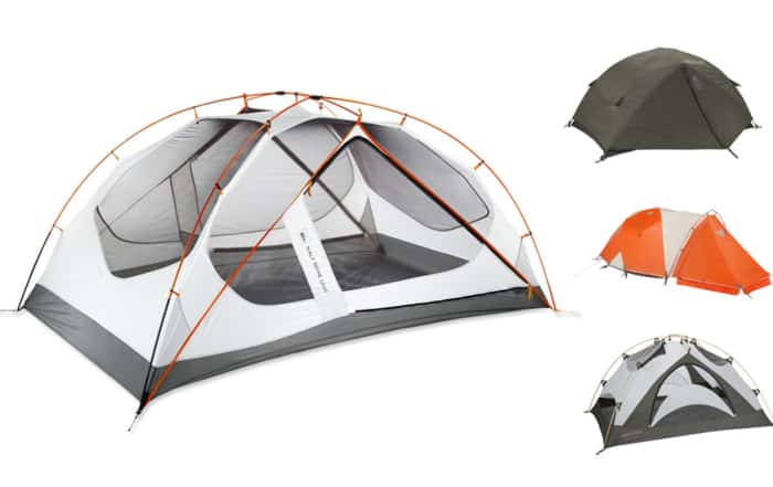
Best Camping Tents
Best Camping Tents: Earth Gear's Top 3 Best Camping Tents: The right tent is your home away from home when camping. Choosing the right tent can [...]
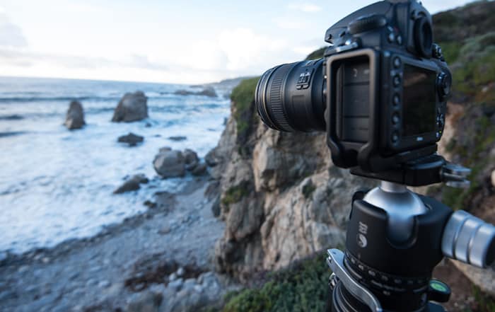
Choosing the Right Camera
Choosing The Right Camera to Capture Your Adventure If you believe in the old hiking and backpacking adage; take nothing but pictures, leave nothing but footprints, kill nothing but time, then you are a [...]

Insulated Jackets
Earth Gear Choices for Insulated Jackets You want to be warm when the temps start to drop? I mean, do you really want to be warm? Do you want to be warm, but are [...]
All Recent Posts
Fall Hiking Gear
The Best in 2020 Fall Hiking Gear Looking for information on fall hiking gear? No offense to the other seasons, but Autumn is the best time to hike throughout much of the Northern [...]
Outdoor Technology
Outdoor Technology: Hiking Backpacking and Camping You may not be a fan of outdoor technology. It may be due to a lack of understanding, maybe you think that it’s too complicated, or you [...]

Handcrafted Log Homes
Handcrafted Log Homes Handcrafted log homes in North America date back to 1638. That is about the time that historians believe that log home construction began in the United States. Historically, log homes [...]

Best Cocktail Recipes
Best Cocktail Recipes Have you ever wondered what the best cocktails are for entertaining your friends? Earth Gear has - and we thought we would bring the best cocktail recipes to you. But first [...]

Sayulita Vacation
Crimson Skies of Sayulita If you are looking for an off-the-beaten-path travel destination, a great place to surf, reflect, rejuvenate, and soak up the sun then look no further than a Sayulita Vacation. This [...]
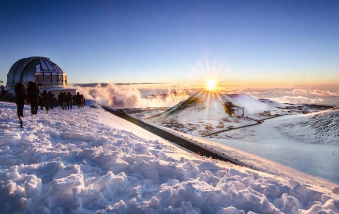
Big Island Hawaii Things To Do
Big Island Hawaii Things To Do, A Journey of Beauty and Contrast The big island Hawaii has a history datable to 1,500 years ago when a small fleet of canoes landed on the island's [...]
Climbing Mount Rainier
Climbing Mount Rainier Climbing Mount Rainier: At 14,411 feet, Mount Rainier—or Tahoma, as regional American Indian tribes called it—falls a little short of the loftiest Sierra Nevada and Southern Rocky Mountain peaks. You can [...]
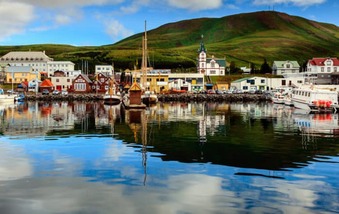
Iceland Adventure Travel
Iceland — The land of Fire and Ice Iceland Adventure Travel; Iceland is home to just under 325,000 people who live in a habitable area of 103,000 square kilometers. The largest city is the [...]
Leave A Comment