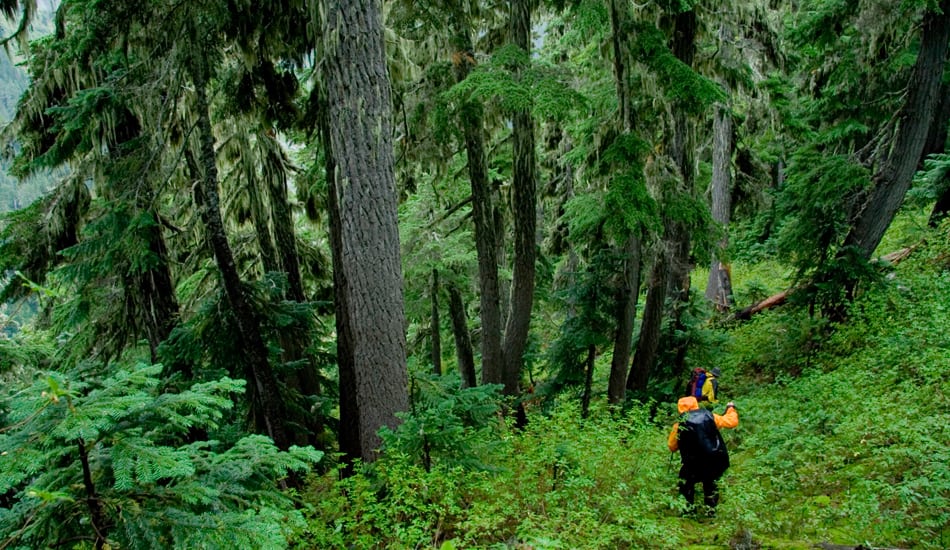
Bushwacking Your Way Through the Wilderness
Bushwhacking reaps many rewards. Cross-country ramblers often stumble upon stirring sights few human eyes have laid eyes upon: hidden waterfalls, secret wildflower glades, unknown old-growth groves, remote vantages with killer views. Going off-trail instantly deepens your awareness of the landscape, your appreciation of the terrain. Rock outcrops, huge toppled trees, bucking rapids, waist-high swards—landscape features a trail hiker might barely register become incredibly immediate, almost alive, to the bushwhacker, for whom they may be daunting obstacles.
And bushwhackers can lose the crowds even in super-popular or pocket-size recreation areas. While most everyone else is thronging the trail up to that handsome alpine lake on a summer weekend, you can be relishing deep solitude in some trackless canyon just a few miles away.
The Risks
If the delights of forsaking the path and striking off into the brush are very real, so too are the risks. An isolated wilderness trail is one thing; when you’re miles off the trail in some barely-ever-visited drainage, you’re that much more removed from potential aid. And obviously there’s an amplified risk of losing your footing or banging into obstacles when you’re not following a maintained route. A twisted ankle, a head gash, an unexpected dousing in a frigid creek—these kinds of scenarios, serious enough on the path, can be truly life-threatening if you’re far away from it. The same goes for bad weather: If a sneaky snowstorm surprises you in the trail-less high country, it’s often tougher to make tracks home than it would be if you simply needed to book it back to the trail-head on a set path.
Off-Trail Navigation
The chief challenge of cross-country travel is staying oriented. Every backcountry recreationist should know how to use a map and compass, but it must be admitted that many hikers who aren’t at all as well versed in wilderness navigation as they should be do just fine simply by staying on an established trail.
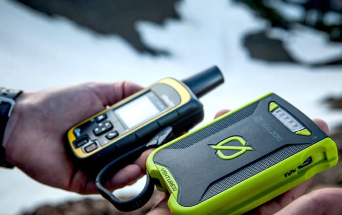
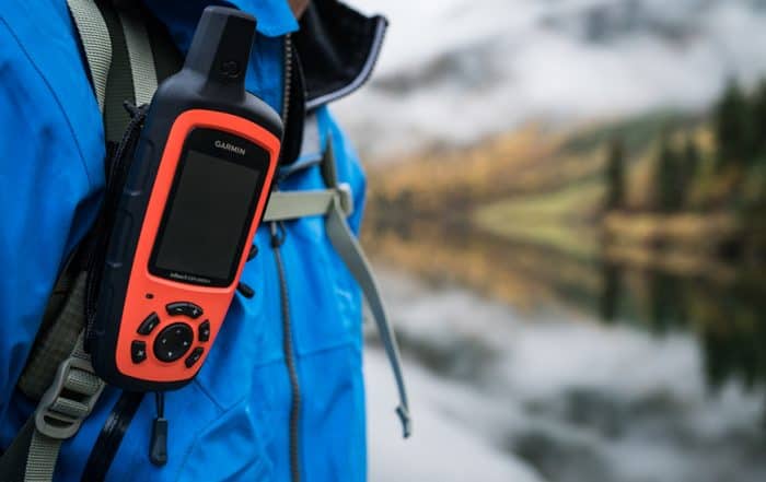
Bushwhackers don’t have anywhere near the navigational safety net that trail hikers enjoy: They have to know how to keep their bearings and adhere to an obscure, non-posted route, and they can’t get away with relying solely on a GPS. Before you ever attempt a bushwhack, you must school yourself on map-and-compass skills—practicing around your neighborhood, on trail hikes, and everywhere in between. Setting off into the backwoods means knowing how to set and follow bearings, match a topographic map’s squiggles with the three-dimensional landscape at hand, synchronize a map and compass so they can be used properly together, accurately estimate the distance you’ve covered, and other fundamentals we don’t have the space to go into here.
One of the most important points to remember, though, is that a well-chosen cross-country route is only sometimes the shortest one between two points. A switchback trail may be able to rocket upslope in a quarter-mile to reach a ridgeline, but without that cleared path a mountainside choked in chaparral or fallen logs can be far too arduous to practically attempt.
This underscores the need to arm yourself with an adequately large-scale topographic map—the 7.5-minute series, where an inch on the map equals 24,000 on the ground (or 2,000 feet), is best for off-trailers—so that you can identify cliffs, morasses, and other fine-focus obstacles that can complicate a straight-ahead course.
Even if you’ve planned your route around such topographic impediments, you’re still likely to run into unexpected ones: blowdowns, landslides, avalanche tracks, floodwaters, and all the other sorts of contingencies that naturally build and modify a wild landscape. Detour around such obstructions by identifying a landmark on the other side that’s along your intended bearing and navigate toward it. If you can’t see through or across the barrier, use your compass to make a 90-degree turn and walk straight, counting your steps, until you’re past the obstacle. Make another 90-degree turn to resume your original direction of travel until you’re on the other side of the barrier, then do another 90-degree turn and make the same number of steps you walked in the opposite direction during the first leg of the detour: That’ll bring you back to your desired bearing, which you can now resume.
Leave-No-Trace
Charting his or her own course through the wilderness, the bushwhacker has a special responsibility to travel lightly. Follow Leave-No-Trace practices at all times, a commitment to minimizing your impact upon the landscape. This sometimes mean not bushwhacking in the first place in fragile ecosystems: Avoid tromping across subalpine meadows, for example, or the “biological crust” of desert soils. When you can, favor bare rock, gravel, sand, or snow to tread upon instead of vegetation or exposed soil. If you’re bushwhacking in a group, spread out to lessen trampling and compaction in any one spot. And don’t mark your path with cairns, flagging, or (for worse yet) tree blazes.
General Bushwacking Tips
Remember that cross-country travel will often be significantly slower than following a trail, and factor that into your route-planning. That said, you actually won’t always be entirely off-trail when you’re off-trail: You’ll often quickly stumble upon game trails—say, the throughways of deer or elk—which can be followed efficiently through heavy woods or shrublands. Keep in mind, though, that deer can slip through surprisingly low and narrow tunnels within thickets that’ll tangle up your two-legged self; and that hoofed mammals don’t always switchback up or down slopes but sometimes take a straight, steep course that may be too knee-buckling to follow.
If snow’s available and firm, it can be a bushwhacker-friendly substrate: A thick snowpack means you can walk pleasantly over buried shrubbery, deadwood, or talus/scree that otherwise would severely slow you up.
Specific Landscape Bushwacking Tips
Successful bushwhackers cater their hiking strategy to the immediate landscape. Cross-country travel in the Sonoran Desert is different than in the Adirondacks; an Everglades slog is worlds away from wandering Alaska Range tundra. (Of course.) Here are a few basic tips on off-trail travel in particular settings.
• Forests: Forest ecosystems are rarely homogeneous: They’re usually a mosaic of different successional stages—that is, stands of different age and composition that are better or worse suited to cross-country travel. A mature forest with a closed canopy tends to be easier to bushwhack through than a younger, shorter-statured wood because the understory’s more sparse—all but the most shade-tolerant saplings and shrubs are suppressed. An early-successional wood, meanwhile, may be clogged with shrub thickets; a young forest of close-set trees competing with each other for sunlight can make a tough-to-negotiate fortress of “doghair” timber. Windstorms, downbursts, and wildfire may produce gnarly tracts of deadfall that, typically, aren’t worth the effort (or the ever-present risk of injury) to clamber through; if you don’t have the option of detouring, move slowly and carefully and try to walk atop relatively unobstructed logs.
• Canyons, Ravines, Washes, etc.: Walking—or wading—up the streambed can be an efficient way to journey up or down certain canyons, at least part of the way, though waterfalls, rapids, logjams, boulders, and—especially in semiarid and arid settings—flash floods are real hazards. Canyons and ravines in general are often too choked with shrub thickets, deadwood, and debris to make efficient passageways: Consider midslope or ridgetop routes tracing the defile that still allow you to use the river as a navigational aid.
• The High Country: When you’re climbing a mountainside, talus aprons tend to be easier to travel on than the brushy ravines or avalanche tracks they may border; ridge spurs, meanwhile, are often the best option compared with steep cliffs or timbered, shrubby, and/or avalanche-prone slopes. Aim to cross snowfields in the morning before surficial melting makes them slushy and thus more exhausting to traverse. (Glacier travel is its own art form.) The peak-gouging chutes called couloirs are often the easiest conduits for mountaineers to ascend and descend a cliffy mountainside; again, it’s best to travel them early in the day, as afternoon thawing of snow and ice can dislodge rocks and other debris and send them tumbling down these gullies. Know the 1-2-3s of avalanche safety: These deadly snow slides can occur with little warning, including on slopes as shallow as 25 degrees. Also, try to steer your alpine ramblings so that you can quickly descend to the treeline if you notice a thunderstorm forming; lightning’s nothing to mess around with.
• Seacoast: Along a rugged coast, the beach may be the most convenient travel corridor, but know the tide schedule and take care you aren’t stranded in some cliff-walled cove during high tide. It’s often easiest to cover ground on the firmer sand of the foreshore (the beach between low and high tide); the more powdery sand higher up can be exhausting to plod long-distance over, and the upper beach margin may be obstructed by driftwood or strand vegetation. Streams and small rivers emptying into the ocean are usually easiest to cross close to the surf, where they often become broad and shallow.
Bushwhacking can open whole new worlds for the hiker. If you’re new to the pursuit, ease into it with baby steps (and, again, only after mastering map-and-compass navigation): Start with short off-trail forays—say, from a campsite—so you can get a feel for the rhythm. And remember: As with any outdoor pursuit, there’s safety in numbers. Finally, check the regulations for the public land you’re planning on hiking in: Off-trail hiking isn’t always allowed in lands protected for ecosystem value or in heavily used recreation areas.
Source
(1) The Essential Wilderness Navigator (David Seidman)
(2) Mountaineering: The Freedom of the Hills (The Mountaineers)
Recent Hiking & Camping Posts
Fall Hiking Gear
The Best in 2020 Fall Hiking Gear Looking for information on fall hiking gear? No offense to the other seasons, but Autumn is the best time to hike throughout much of the Northern [...]
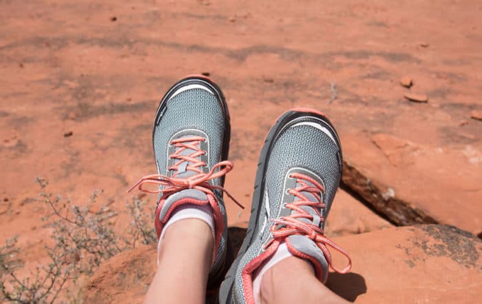
Hiking Trail Shoes
Hiking & Trail Shoes - Earth Gear Review Altra Trail Shoes Prior to our trip to Sedona we were approached by Altra Running and offered shoes to test on the desert trails [...]
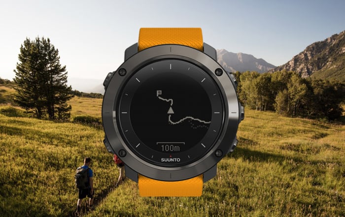
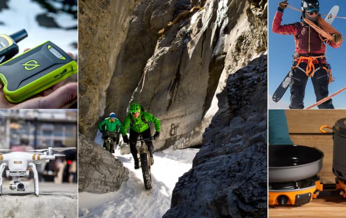
Backcountry Technology
Outdoor Backcountry Technology: The Best in Outdoor Tech Outdoor Backcountry Technology: Some say they seek adventure in the outdoors to escape the trappings of technology, society, and the everyday. We get it. But [...]
Best Backpacking Backpacks
The Best Backpacking Backpacks: Earth Gear's Top 3 If you’re like us, you probably spend an incredible amount of time obsessing over the gear you need when you are planning your next adventure. [...]
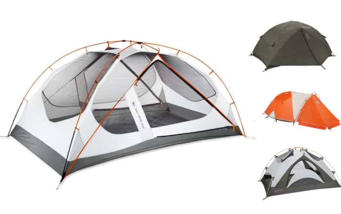
Best Camping Tents
Best Camping Tents: Earth Gear's Top 3 Best Camping Tents: The right tent is your home away from home when camping. Choosing the right tent can [...]
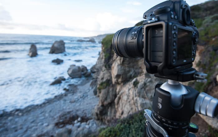
Choosing the Right Camera
Choosing The Right Camera to Capture Your Adventure If you believe in the old hiking and backpacking adage; take nothing but pictures, leave nothing but footprints, kill nothing but time, then you are a [...]

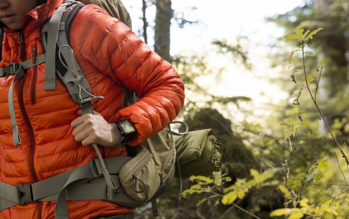
Insulated Jackets
Earth Gear Choices for Insulated Jackets You want to be warm when the temps start to drop? I mean, do you really want to be warm? Do you want to be warm, but are [...]
All Recent Posts
Fall Hiking Gear
The Best in 2020 Fall Hiking Gear Looking for information on fall hiking gear? No offense to the other seasons, but Autumn is the best time to hike throughout much of the Northern [...]
Outdoor Technology
Outdoor Technology: Hiking Backpacking and Camping You may not be a fan of outdoor technology. It may be due to a lack of understanding, maybe you think that it’s too complicated, or you [...]

Handcrafted Log Homes
Handcrafted Log Homes Handcrafted log homes in North America date back to 1638. That is about the time that historians believe that log home construction began in the United States. Historically, log homes [...]

Best Cocktail Recipes
Best Cocktail Recipes Have you ever wondered what the best cocktails are for entertaining your friends? Earth Gear has - and we thought we would bring the best cocktail recipes to you. But first [...]

Sayulita Vacation
Crimson Skies of Sayulita If you are looking for an off-the-beaten-path travel destination, a great place to surf, reflect, rejuvenate, and soak up the sun then look no further than a Sayulita Vacation. This [...]
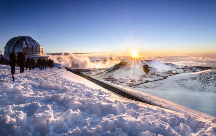
Big Island Hawaii Things To Do
Big Island Hawaii Things To Do, A Journey of Beauty and Contrast The big island Hawaii has a history datable to 1,500 years ago when a small fleet of canoes landed on the island's [...]
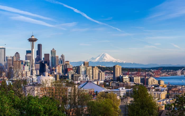
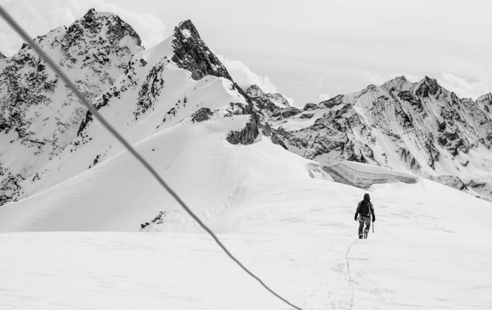
Climbing Mount Rainier
Climbing Mount Rainier Climbing Mount Rainier: At 14,411 feet, Mount Rainier—or Tahoma, as regional American Indian tribes called it—falls a little short of the loftiest Sierra Nevada and Southern Rocky Mountain peaks. You can [...]
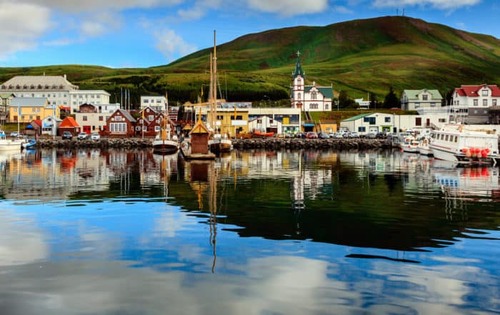
Iceland Adventure Travel
Iceland — The land of Fire and Ice Iceland Adventure Travel; Iceland is home to just under 325,000 people who live in a habitable area of 103,000 square kilometers. The largest city is the [...]
Leave A Comment